Changing the Default Characteristics of a Map
Customizing Maps
Selecting a Map Projection
A projection is required
to represent spherical features like the earth's surface on a
flat medium like a display screen or printed page. SAS/GIS software
supports a wide variety of projection methods. However, it assumes
by default that the coordinate values in newly imported spatial data
are arbitrary Cartesian (X/Y) values. Exceptions to this are TIGER
and DYNAMAP files, for which SAS/GIS software assumes latitude and
longitude degrees. However,
the coordinates in the MAPS.COUNTY or MAPSSAS.COUNTY map data set
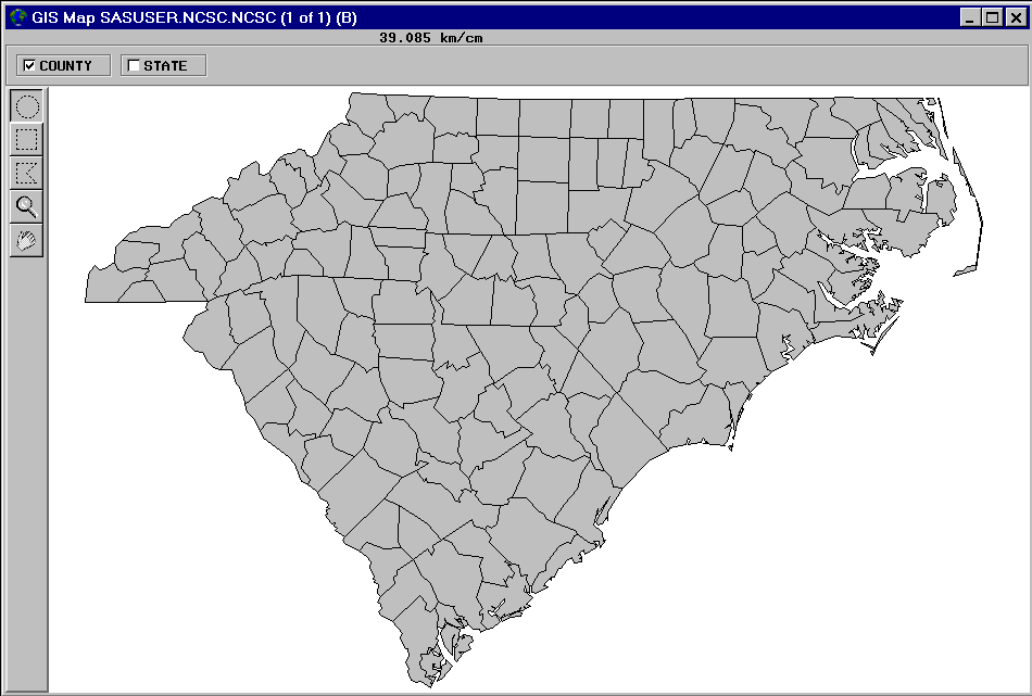
are actually latitude and longitude values in radians. As a result, the initial
Carolinas map in Initial Display of Imported SAS/GRAPH Map is elongated and reversed right-to-left.
To change the projection
system that is used for the spatial data, use the GIS
Projection Options window. Open the GIS Projection
Options window with the following selections from the GIS
Map window's menu bar: Tools Map PropertiesProjections.
In the GIS
Projection Options window, Storage Projection
System specifies the system that is used to interpret
the stored spatial data. Display Projection System specifies
the system that is used to project the interpreted spatial data in
the GIS Map window. Use the drop-down arrows
to select
Lat/Lon for both Storage
Projection System and Display Projection
System. Also, in the storage system parameters, select W for Hemisphere and 1 for
the Units Multiplier. Select Close to
close the GIS Projection Options window and
apply the new projection specifications.
Note: This example uses the same
projection system for the storage projection system and the display
projection system. It is not required that the two use the same projection
system unless the storage projection system is arbitrary Cartesian
data.
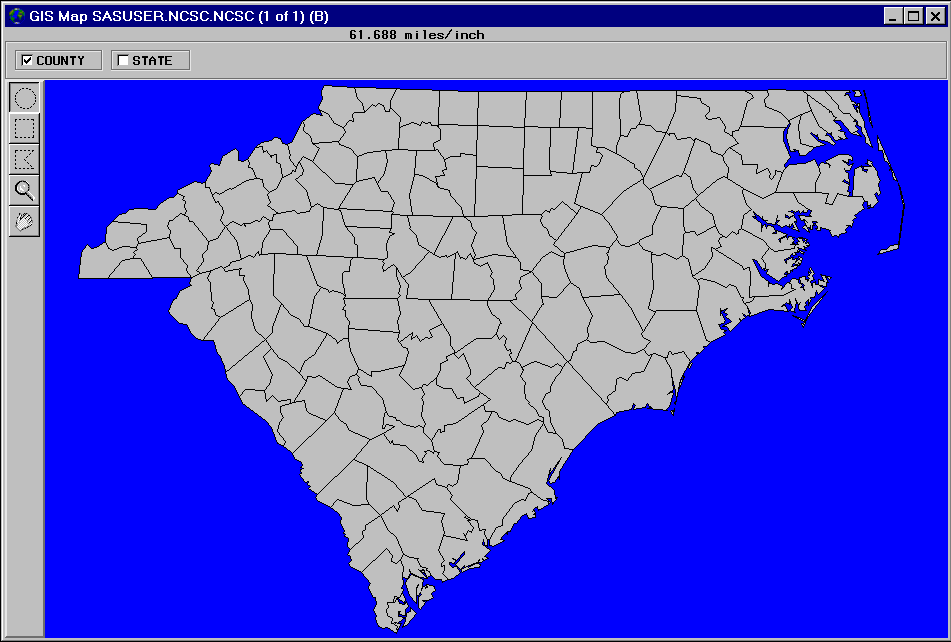
Selecting the Units System
By default, the scale
feedback for a newly imported map uses metric units. You use the GIS
Map Options window to set the units system of a new map.
Open the GIS Map Options window with the
following selections from the GIS Map window's
menu bar: ToolsMap
PropertiesMap Options.

Selecting a Background Color
By default, a map area
is assigned a white background. You use the GIS Map Styles
and Colors window to choose a different background color
for a map. Open the GIS Map Styles and Colors window
with the following selections from the GIS Map window's
menu bar: ToolsMap
PropertiesColors.
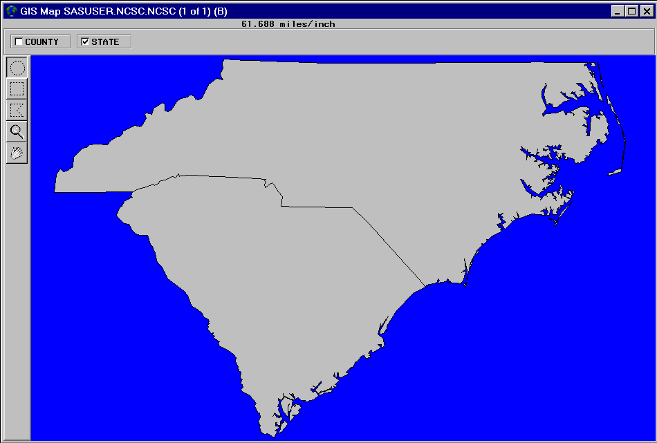
Choosing Which Layers Are Displayed
By default, only the
first layer in the layer bar is displayed; other layers are hidden.
To select which layers are displayed or hidden, click the corresponding
layer bar check boxes. Deselecting a layer that is currently shown
hides that layer. Conversely, selecting a layer that is currently
hidden displays that layer.
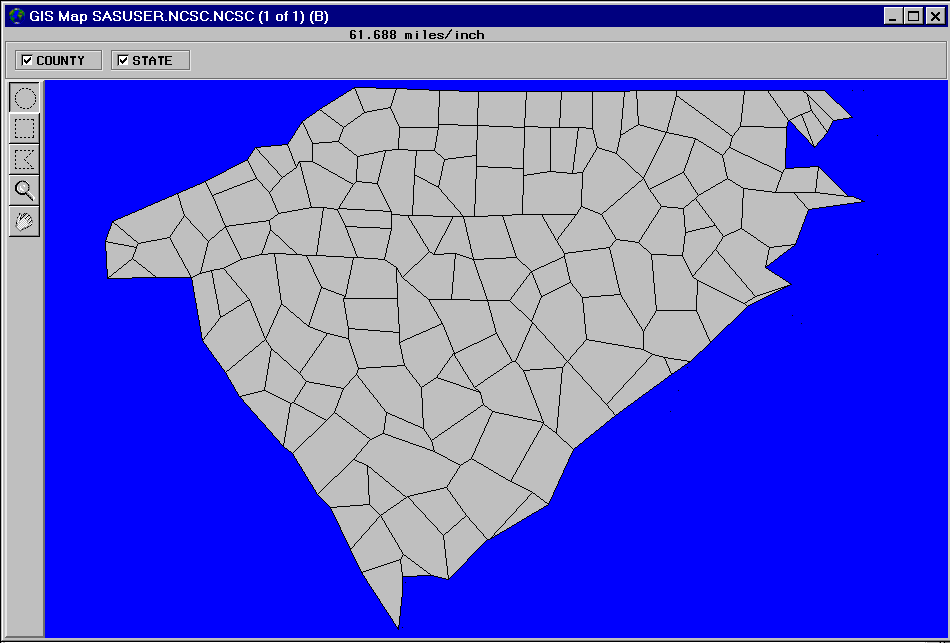
Changing the Level of Detail
In spatial databases,
SAS/GIS software distinguishes between the coordinate points that
are necessary to represent features minimally and those that provide
extra detail. For example, the starting and ending intersections of
a segment of a street are considered fundamental points. Additional
points that represent the curves between the intersections are considered
extra detail. By default, SAS/GIS software uses detail points for
all layers if they are available. To turn off the detail points for
all features in the map, make the following selections from the GIS
Map window menu bar: ViewDetail.
Copyright © SAS Institute Inc. All rights reserved.