GREMOVE Procedure

Overview: GREMOVE Procedure
The GREMOVE procedure
processes a map data set that is used as input. It does not produce
any graphics output. Instead, it produces an output data set that
typically becomes the input map data set for the GMAP procedure (see
GMAP Procedure). The GREMOVE procedure combines unit areas defined in a map
data set into larger unit areas by removing shared borders between
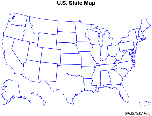
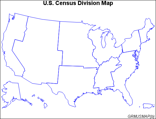
the original unit areas. For example, Map Before Removing Borders and Map After Removing Borders show combined unit areas in a typical map data set by removing
state boundaries to create regional census divisions.
The program for these
maps is shown in Removing State Boundaries from U.S. Map.