Click on the About tab within each sample for product and release requirements.
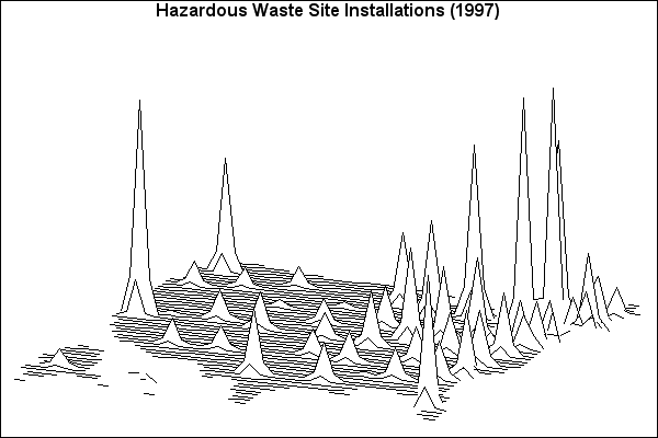
Sample 25565 - Produce a simple surface map using PROC GMAP[ View Code ]
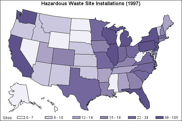
Sample 25563 - Produce a simple block map using PROC GMAP[ View Code ]
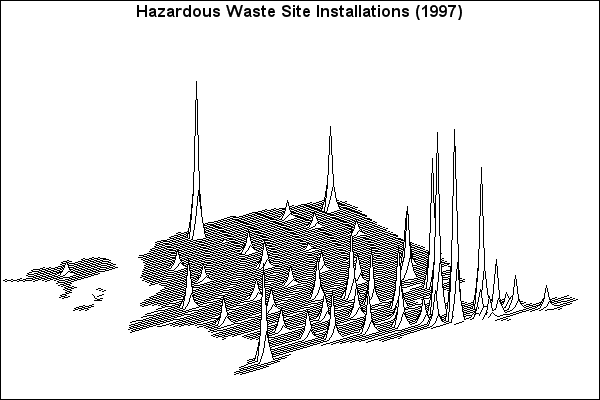
Sample 25562 - Rotate and tilt a surface map using PROC GMAP[ View Code ]
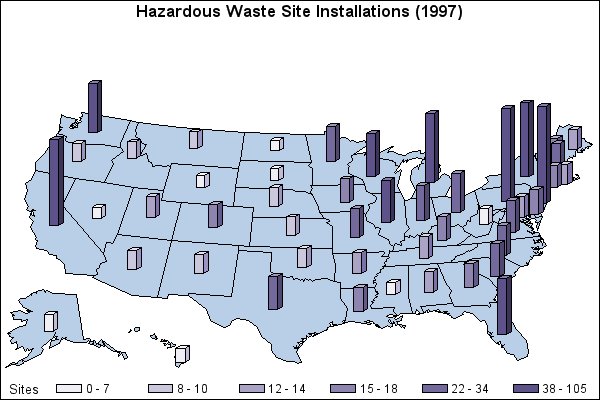
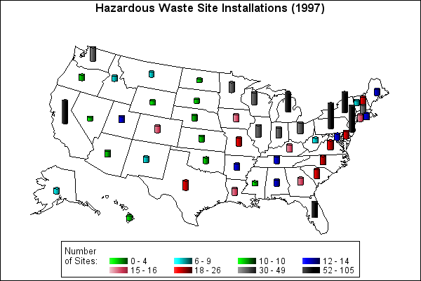
Sample 25561 - Produce a simple prism map using PROC GMAP[ View Code ]
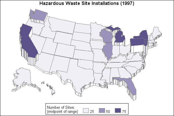
Sample 25560 - Specify midpoints in a prism map using PROC GMAP[ View Code ]
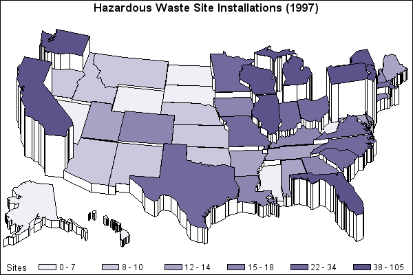
Sample 25559 - Specify response levels in a block map using PROC GMAP[ View Code ]
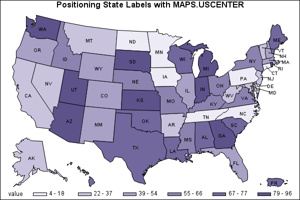
Sample 25558 - Label the states on a U.S. map using PROC GMAP[ View Code ]
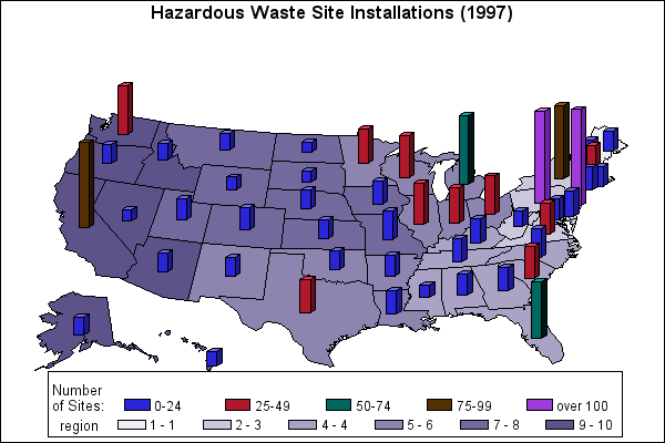
Sample 25557 - Assign a format to a response variable using PROC GMAP[ View Code ]
Sample 25555 - Produce a simple choropleth map using PROC GMAP[ View Code ]