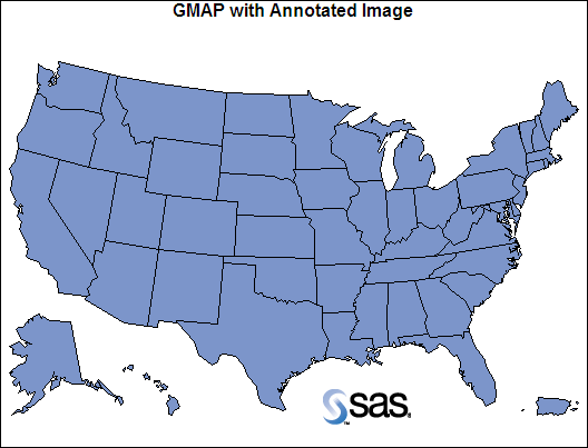
Displaying Images Using Annotate
The Annotate facility
enables you to display an image at the coordinate location that you
specify with the X and Y variables. To display an image, do the following:
One corner of the image is located by the current
X and Y position. The opposite corner is located by the X and Y variables
associated with the IMGPATH variable.
goptions reset=all border htitle=1.25
    hsize=5.5in vsize=4.2in;
data my_anno;
   length function $8;
   xsys="3";  ysys="3"; when="a";
function="move";  x=55;  y=55;  output;
function="image";  style="fit";  imgpath="external-image-file";
         x=x+15;  y=y+18;  output;
run;
title1 "GMAP with Annotated Image";
proc gmap data=maps.us map=maps.us anno=my_anno;
   id state;
   choro state/
   levels=1
   nolegend
   statistic=freq;
run;
quit;
The style="fit" variable
on the IMAGE function stretches the image as needed to fill the area.